
--1--
I am the co-director of the Youth Group at Saint Martin de Porres Church, a working class mission church.The Youth Group is tiny with an even tinier budget. It's a struggle to find a balance between the desire to be of service, to have some fun, and to accomplish this without spending all our time fundraising. Our answer to the problem is called the Pilgrims of the Holy Family. The closest description I can give is to liken it to Boy Scouts for Catholics, badges and all.
But coed...
...and holy...
You know, with saints...
--2--
As a special treat, since we were Catholic, we were allowed to open and explore a Bishop's personal papers, in Spanish, from the early 1800s. Particularly touching were the photographs of his mother and father. I can not begin to tell you how amazing an experience we had.
--3--
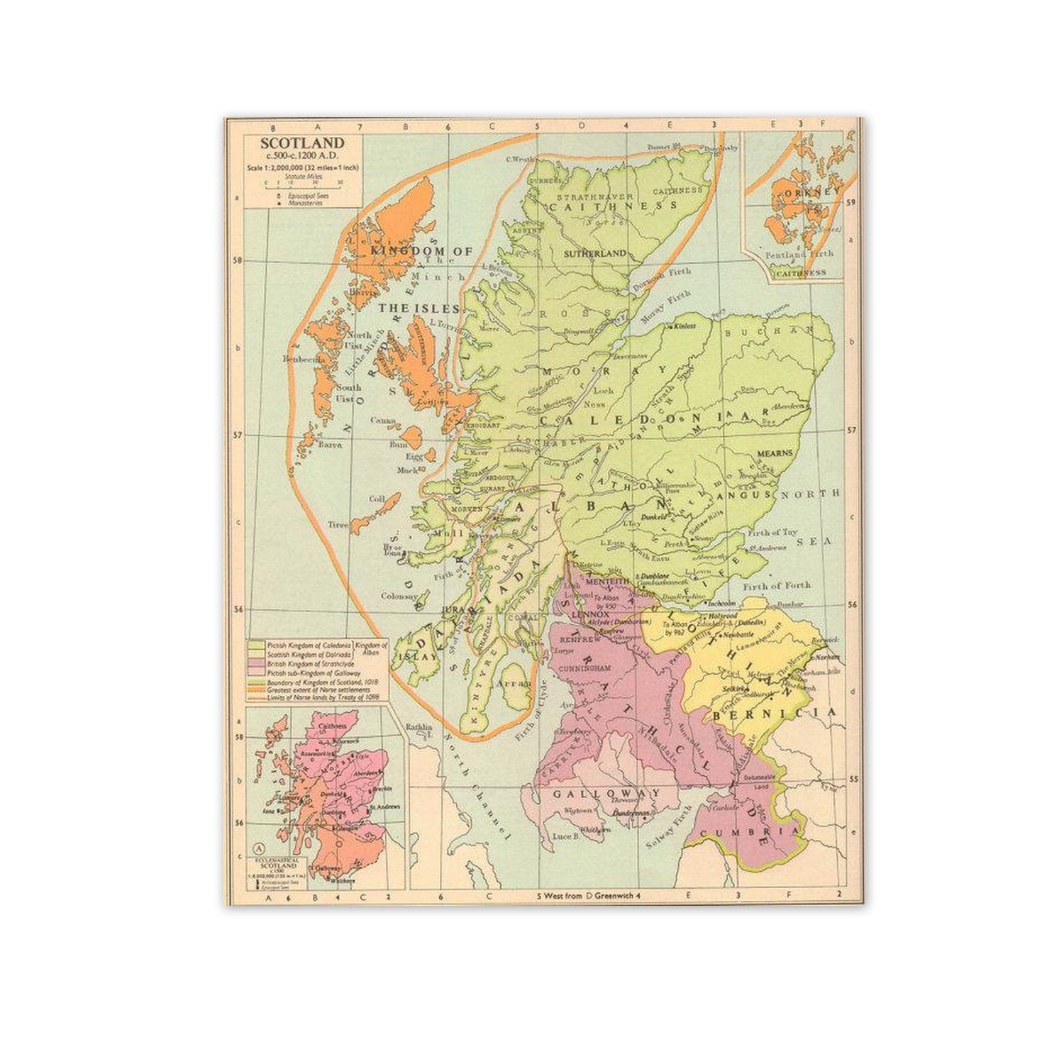
Meanwhile, if I never mentioned that I love maps, you must know it by now. When my husband wants to get me an extra special gift, he does not buy jewelry, he buys maps. He's done it twice now and I am the proud owner of one replicated 19th Century world map and two antique sets of social studies maps from a 1950s classroom. They are more precious to me than gold. I am a Mappy. I admit it. If given a choice between driving to a destination and navigating: I'll take the map!
--4--
Which means that, yes, I know how to find you. I have an interior map that activates when I hear a place name. You say, "Phoenix, Arizona" and my interior life resembles one giant four dimensional map (time is a dimension. I factor it in calculating air, car, and covered wagon travel times). Since I've driven there, this interior map actually contains highway numbers, alternate routes, seasonal climate factors, and mountain ranges. This is so innate that I tend to point in the direction you should travel if you want to meet whomever I happen to be discussing, even when they live on another continent.
If we've met and you live someplace I've never been to, I've Googled you. Just for the map, you understand.
--5--
If you don't know how to negotiate a map and compass, I found this video to teach the skill to the Youth Group. It's a quick and easy How-To.
--6--
In the above video, PackRat brings up declination and promises to explain how to compensate for it in another video. Since he explained compasses and maps so clearly, I sought out his explanation of declination, too. It's just as clear and simple as the first video.
The Magnetic North that attracts the needle of your compass and true North are not the same. It's due to the fascinating fact that our magnetic core shifts around somehow and causes our planet's magnetic field to change by 7 minutes (spatially, not temporally) a year, which is enough that maps have to be constantly updated because of it. You have to do a little math to keep from missing your destination.
Declination becomes important the farther you travel, especially if you are traveling long distances. If you are hiking in an area with 10 degrees of declination, you will be 1,000 feet off course in a single mile. In longer distances, that 10 degrees will matter more and more. Miss a port by 10 degrees after traveling 1,000 miles over the open sea and you could wind up in an entirely different country.
For those of you who like to get your Geek on, you can go to this web page and find out your city's declination.You plug in your U.S. Zip Code or your country and city to find your Latitude and Longitude coordinates, and the page will calculate it for you. You can even track the changes in declination through time. For example the declination of Washington, D.C., is -11.2. It used to be -6.1 in 1913. Back in 1776, the declination was -0.9. I find it fascinating that the world under our feet seems so stable, when in fact, even something as accurate as a compass can steer you wrong.
--7--
My confessor, Father Barnabus, is still undergoing treatment and could use your prayers. His spirits are good, but his activities are very limited. He could use the spiritual support. In fact, he'd be the first to remind me to include all priests in this prayer request. Priests need our prayers even when they aren't undergoing chemo.
Map geekery for the win!
ReplyDeleteEvery time I see this comment it makes me smile!
Delete